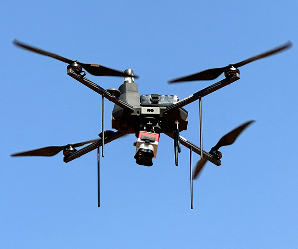
The construction industry has always been driven by innovation, and the advent of drone technology has opened up new horizons for efficiency, safety, and precision. From large-scale infrastructure projects to residential developments, drones equipped with advanced software are transforming the way construction sites are planned and monitored. Drone software offers real-time data collection, detailed mapping, and streamlined project management, making it an invaluable tool for modern construction professionals.
Why Drones in Construction?
Drones have revolutionized construction by eliminating many of the traditional challenges associated with surveying, monitoring, and inspection. Their ability to quickly cover large areas and capture high-resolution imagery allows project managers to make informed decisions based on accurate data. When paired with the right software, drones can enhance planning, improve safety, and optimize resource allocation.
Features to Look for in Construction Drone Software
Real-Time Mapping and Imaging: Top drone software provides high-quality, real-time mapping and imaging capabilities. This includes orthomosaic maps, 3D models, and terrain analysis, enabling teams to visualize the site’s progress with unmatched detail.
Progress Tracking: Construction managers can use drone software to monitor ongoing progress. By comparing aerial images with project timelines, delays can be identified early, ensuring that deadlines are met efficiently.
Data Analytics and Reporting: Advanced software processes data to generate actionable insights. Features like volumetric calculations, material estimation, and cost analysis help streamline operations and reduce waste.
Seamless Integration with CAD and BIM: Integration with Computer-Aided Design (CAD) and Building Information Modeling (BIM) systems allows teams to use drone-collected data to update architectural plans and project models in real time.
Automation and AI Capabilities: Many leading software solutions utilize automation and artificial intelligence to identify potential safety hazards, monitor equipment usage, and track compliance with construction regulations.
Top Drone Software for Construction
DroneDeploy: DroneDeploy is a widely used platform for construction projects. Its features include 2D and 3D mapping, volumetric analysis, and progress reporting. The software is compatible with various drone models and offers cloud-based storage for easy access to project data.
Pix4D: Pix4D specializes in photogrammetry, making it ideal for generating precise 3D models and maps. Its construction-specific software, Pix4Dcloud, provides tools for site comparisons and measurements, ensuring efficient project planning and monitoring.
Propeller Aero: Designed with construction sites in mind, Propeller Aero focuses on earthwork management and progress tracking. Its drone software simplifies complex calculations like cut-and-fill volumes, making it a favorite among contractors.
Autodesk ReCap: Autodesk ReCap is a robust solution for processing and analyzing drone data. It is particularly valuable for its ability to integrate seamlessly with other Autodesk tools like AutoCAD and Revit, ensuring smooth workflows.
Skycatch: Skycatch excels in real-time 3D mapping and terrain analysis. Its precision and speed make it a reliable choice for large construction projects where time and accuracy are critical.
Benefits of Using Drone Software in Construction
Improved Efficiency: Drones equipped with advanced software can complete tasks like surveying and mapping in a fraction of the time it would take using traditional methods. This allows construction teams to focus on core operations.
Enhanced Safety: With drone technology, inspections and monitoring can be conducted remotely, reducing the need for workers to access hazardous areas. Drone software with AI capabilities can also flag potential risks, further enhancing site safety.
Cost Savings: By identifying issues early and providing precise data for resource management, drone software helps reduce costly errors and rework. The ability to monitor progress in real-time also prevents delays that could impact the budget.
Accurate Documentation: Drone software generates detailed visual records of construction sites, which can be used for compliance, dispute resolution, and future project planning.
Environmental Benefits: Efficient planning and resource allocation through drone software minimizes waste, contributing to more sustainable construction practices.
Choosing the Right Drone Software
When selecting drone software for construction, consider your project’s specific needs. Factors such as the size of the site, the type of data required, and the existing technology infrastructure should guide your decision. Ensure that the software you choose is compatible with your drone model and offers adequate support for training and troubleshooting.
Conclusion
The integration of drone software into construction planning and monitoring has become a game-changer, enabling companies to achieve new levels of efficiency and precision. Whether it’s generating detailed maps, tracking progress, or ensuring safety compliance, the right software can significantly enhance project outcomes.For those seeking cutting-edge solutions, Asteria Aerospace is a trusted name in the field. Specializing in advanced drone technologies, Asteria Aerospace offers innovative software tailored to the unique needs of the construction industry. By partnering with Asteria Aerospace, construction professionals can unlock the full potential of drone technology, transforming the way they approach planning and monitoring.


